Charleston:
From a long walk last Thursday. (Computer issues resolved and uploaded Monday, April 16.)
Too much to say, so I propose to toss a bunch of pix up and add some brief comments. More to follow w/ more walks.
BTW -these were all taken w/ my cell phone. Other then the difficulties of getting the pix out of the little bugger, (it gets easier if I give the phone company another $10 / month and spend heavenonlyknowshowlong, learning more then I want to about wireless connections and all), I have to say I'm impressed.
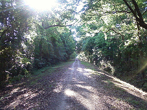
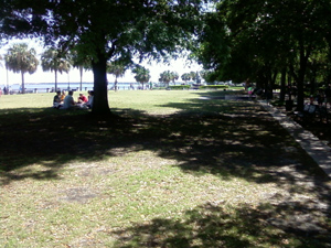
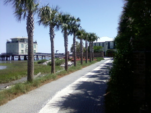
This is a green-belt about a block from Tonia's and Johns's place. It was an old railroad bed.. Straight as a arrow for 10 miles or so heading along highway 17 to the bridge into Charleston proper.
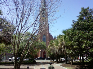
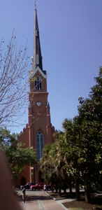
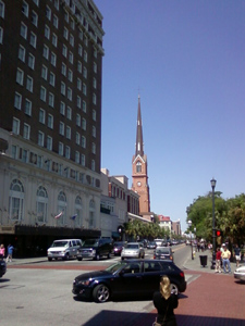
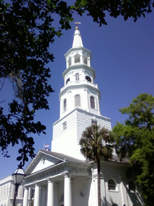
Lots of churches. The steepels made it easy for both the British (Revolutionary War) and the Union (Civil war) to aim they's cannons.
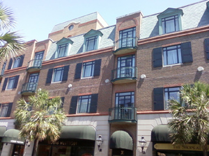
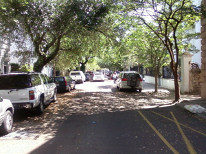
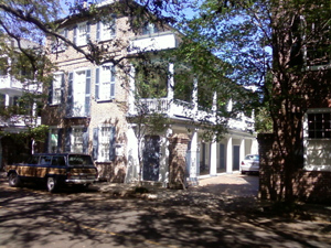
An apartemnt house (above) and offices etc. (below) on King Street -the main shopping / high-rent district.
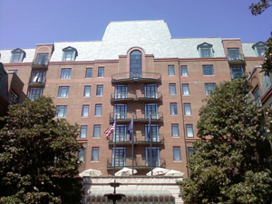
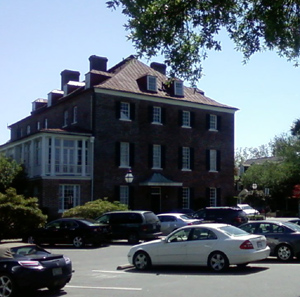
A nice hotel's entry way.
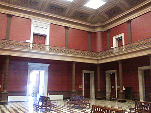
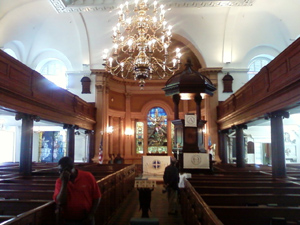
The interior of the old (but still functioning) custom house doxn on the waterfront.
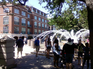
The waterpark arching around to Battery Park -battery as in cannons,
The "French Quarter" -a slightly different architecture and history.
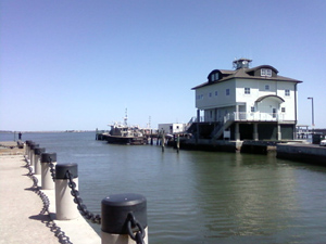
Pilot boats on the docks -behind a gate.
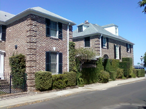
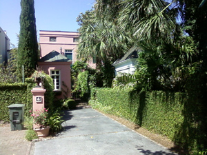
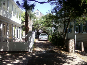
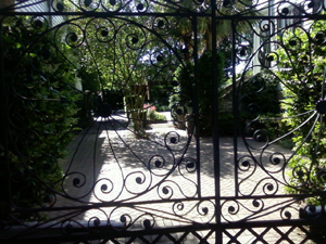
Rich people's houses -also behind a gate.
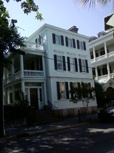
Rich peoples house from back when -out where anyone could get to it. Now law offfices.
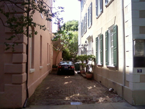
This view is actually from the alley ?!??!
Four views from the same place.
A little explanatnion is needfull here. Used to be that propety taxes were calculated on the # of windows facing the street. So you see lots and lots of houses that are narrow on front and go way way back. The 2 story balcony thign is calles a Piazza. You see lots of them
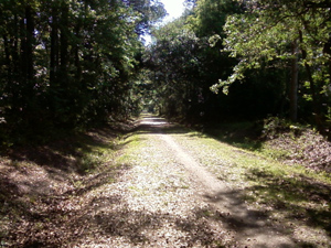
Walking home that afternoon on the same green belt.